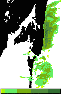
9. Predicting seagrass standing crop from SPOT XS satellite imagery
Author: Dr Alasdair J.Edwards, University of Newcastle, UK.
Aim of Lesson

To learn how to derive a map of seagrass standing crop from a SPOT XS or similar appropriate image.
Learning Objectives
- To understand the importance of field survey and the methods used to calibrate imagery and thus allow seagrass standing crop to be estimated.
- To investigate the relationship between seagrass standing crop and the single depth-invariant “bottom index” image derived from SPOT XS bands #1 and #2 (green and red wavebands) using field survey data referenced to UTM coordinates.
- To learn how to mask out non-seagrass areas of the SPOT XS depth-invariant image.
- To learn how to construct a palette to display seagrass standing crop densities effectively.
- To analyse the image in order to estimate areas of dense, medium and sparse seagrass.
How to download the lesson
 Previous: Lesson 8
|
Last update: 20 August 2018 | Contact |  |
Site Policy |
Next: Lesson 10

|


